
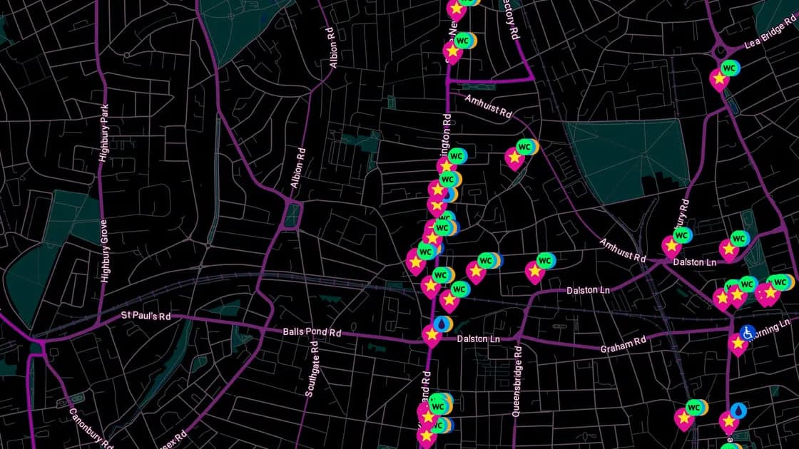
Hackney Council has introduced a new resource aimed at making nights out across the East London borough a bit smoother and safer. Called Hackney Nights, the initiative takes the form of a "Night Map" that lays out essential nightlife amenities for clubbers and revellers moving through the area.
The map marks the locations of public use toilets, free drinking water points, phone charging spots, public transport links and disability access throughout Hackney. By consolidating this practical information in one place, the council is giving people a quick way to find basic necessities while out late, whether they're heading to a club, waiting for a bus, or just need to top up their phone battery before the journey home.
It's a small but notable example of local government engaging directly with nightlife infrastructure, addressing the kind of everyday logistical gaps that can make or break a night out. For a borough known for its dense concentration of venues and parties, having an accessible guide to amenities adds a layer of practical support to the experience of navigating Hackney after hours.